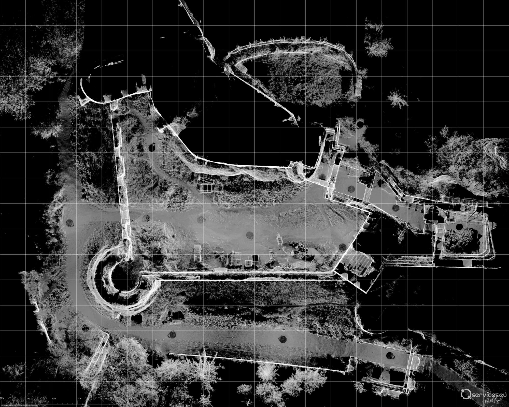
What is a point cloud?
A point cloud is a digital representation of a physical object or space created by 3D laser scanning. It is a collection of individual points in three-dimensional space, where each point contains information about its position (X, Y, Z) and often also the colour or intensity of the reflection of the laser beam.
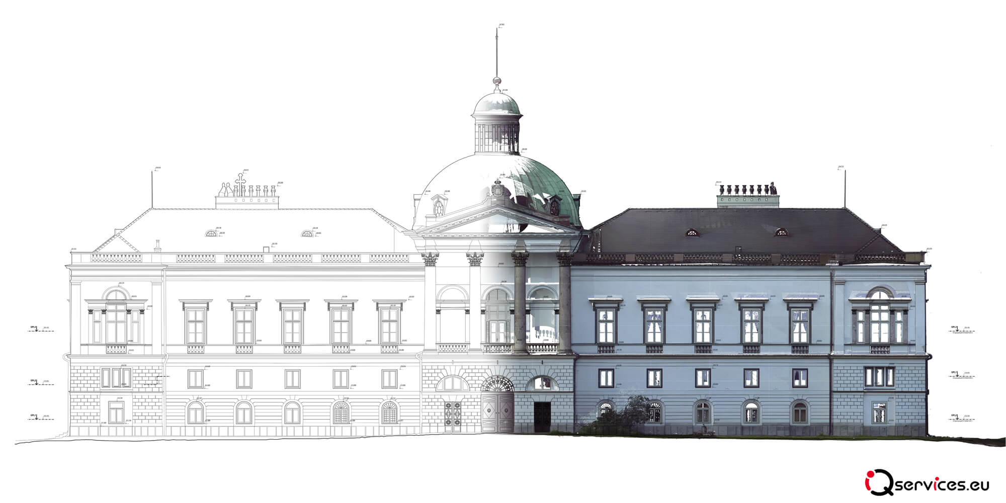
This method enables extremely precise digitisation of objects of different sizes – from small industrial components to large buildings, historical monuments or entire production plants.
Emergence of cloud points
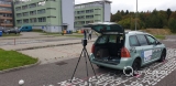
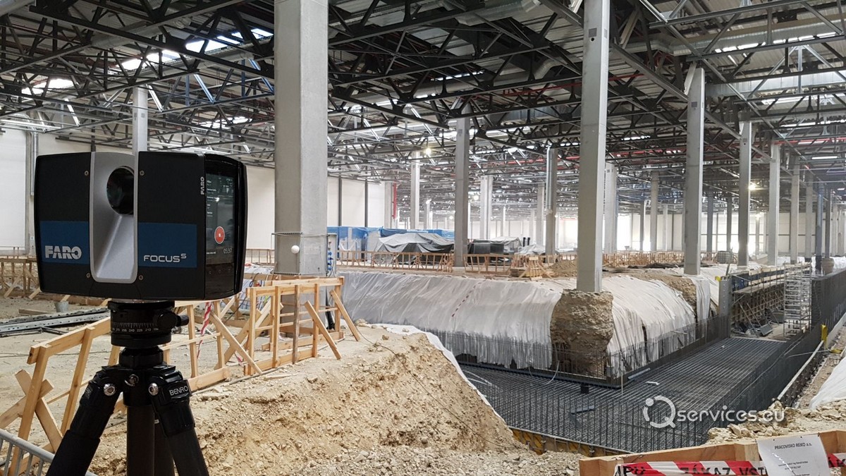
The point cloud is generated using specialised 3D scanners that emit laser pulses and measure the time it takes for them to bounce off the object’s surface. These pulses are recorded as discrete points in space.
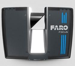
Modern laser scanners such as the FARO Focus Premium, FARO Freestyle 2 or Orbis Premium can record up to 900,000 points per second with an accuracy of a few millimetres.
Using the point cloud
The point cloud finds application in various fields of industry, architecture and construction:
- Industry – Digitization of production halls, process units, steel structures and piping systems for production optimization and renovation planning.
- Construction – documentation of the actual condition of buildings, checking the accuracy of construction, planning the installation of facade panels or pipe bridges.
- Architecture and cultural monuments – 3D documentation of historical objects, digitization of monuments for reconstruction or protection purposes.
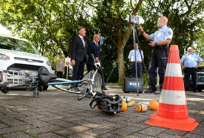
- Forensic analysis – use in criminal investigations, crime scene documentation or traffic accident analysis using FARO Zone 3D software.
- Reverse engineering – creating drawings for components that do not have original documentation.
Benefits of using a point cloud
- Extreme precision – laser scanners provide millimetre details of captured objects.
- Complete capture of reality – recording all geometric elements of the object.
- Efficiency – fast and non-contact measurement in real time.
- Eliminate the need for repeated measurements – all data is collected at once, reducing the need for additional site visits.
- Can be used in BIM modelling – integration with CAD software such as FARO As-Built, Autodesk Revit or PointCAB.
Point cloud processing software
Once the scanner data has been acquired, the point cloud needs to be processed in specialised software. The most popular solutions include:
- FARO SCENE – allows registration of scans, basic measurements and export to various CAD formats.
- FARO As-Built – an extension for AutoCAD and Revit that facilitates the modelling of objects based on point clouds.
- PointCAB – fast processing of point clouds into a format suitable for CAD applications.
- BuildIT Construction – quality control of construction projects by comparing reality with construction plans.
- FARO Sphere – a cloud-based platform for remote management and collaboration when working with cloud points.
Export and format compatibility
The point cloud can be exported to different formats depending on the type of software in which it will be further processed. The most commonly used formats include:
- E57, LAS, LAZ – universal formats for point cloud sharing
- PTS, PTX – formats suitable for direct import into CAD software
- DWG, DXF, DGN – formats compatible with AutoCAD, MicroStation
- Revit, IFC – formats used in BIM modelling
The future of the point cloud
3D scanning technology is constantly evolving, and with the rise of artificial intelligence and automated data analysis, new possibilities in point cloud processing are opening up. Automatic object classification, predictive analytics and augmented reality (AR) integration are just some of the trends shaping the future of digital documentation.
Point cloud is already being used in smart cities to help with urban planning, infrastructure optimisation and improving safety in urban environments.
Conclusion
Point cloud represents a revolutionary technology in the field of object digitization. Thanks to its high resolution and precision, it enables efficient management and analysis of real spaces in various sectors of industry, construction and architecture. Combined with cutting-edge software and cloud-based solutions such as FARO Sphere, it opens up new possibilities for more efficient planning and project management.